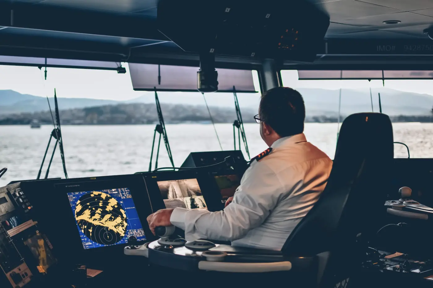
How Did Ships Navigate Before GPS?
Before GPS, ships would navigate using the stars, birds, and even seaweed. Let's find out how these peculiar methods actually worked.

Let’s be honest here. A lot of us might find it practically impossible to find the street we need without using the GPS on our phones. And that might be one of the main reasons why early sea navigation seems so fascinating to us.
Hundreds of thousands of years ago, the majority of explorers didn’t even have a map. They used the Sun and the stars, the winds and the currents, and a method called ‘dead reckoning’ to (hopefully) reach their destination.
So, exactly how did ships navigate before GPS? Let’s start with the earliest navigation tools, familiarity with which might help us appreciate the modern-day navigation systems a bit more.
How Did Ships Navigate Before GPS?
Dead Reckoning
Dead reckoning is an early method of navigation that uses time, the direction of travel, and the speed of the ship to estimate the position in the sea. Thanks to dead reckoning, sailors were able to complete short voyages, but this method proved to be quite inefficient when traveling long distances.
During the voyage, the navigators had to constantly keep records. A single mistake in their calculations could make the ship go in the wrong direction, and, the crew would keep sailing that way for days, weeks, or even months. Moreover, dead reckoning does not take the currents and the winds into consideration.
By the way, voyagers would use a sandglass to measure time and the velocity of the ship was calculated by watching seaweed pass by the hull. You can imagine how off were a lot of the numbers.
Despite all the disadvantages, this was the exact method of navigation used by Columbus and plenty of other mariners of the Age of Exploration.
Celestial Navigation
One of the easiest ways to figure out in which direction the ship is going is by taking note of the movement of the Sun. But even though navigators could figure out whether they were going east or west, they were not able to determine the longitude. As soon as the mariners lost sight of land, they had no idea how far west or east the ship had gone.
When the Sun would set, the sailors used the stars to navigate. The process was no different from that of observing the Sun as a lot of the stars move across the sky.
Constellations would also help the early explorers figure out where they were going. But the trick with constellations is that they change seasonally. The navigators had to know exactly which constellations should be visible in the sky during the different times of the year.
Following the Birds ; Riding the Winds
How did ships navigate before GPS? Well, in some places (especially, in the North where the stars cannot be seen for a few months every year), birdwatching has become a method of navigating. For example, if a bird had a fish in its mouth, it meant that the birdie was flying to the shore.
Vikings would also release birds when they felt like they were close to land. If the ravens circled the boat, then land, unfortunately, was not nearby.
Another fascinating way of navigating the sea was by using the cold and warm winds. The warm ones would usually come from the south, while the cold winds – from the north. Eight main winds and their directions were discovered, at one point, and very soon the wind rose was created.
The illustrations of the wind rose started appearing on navigation charts (the earliest known were used in the 13th century). The eight points of the ‘rose’ were marked with the principal winds. A form of the compass rose is still found nowadays on nautical charts and even global-positioning systems.
Using Early Navigation Tools
The Chip Log
At one point, mariners no longer had to take note of how fast seaweed would pass the ship as the chip log was created. This tool allowed the sailors to calculate their speed a bit more accurately. All you would have to do is drop the line over the stern and count how many knots went overboard during a certain timeframe.
The Compass
In the 12th century, mariners still depended a lot on celestial navigation. But the invention of the compass made it possible for the explorers to navigate the seas even on cloudy days. The earliest compasses were made with a magnetized needle, a piece of wood, and a bowl of water. The more sophisticated version of the tool included a needle attached to a card.
Soon, explorers realized that the compass’s north was not the same as the Earth’s geographic north (the closer to the pole the ship would get, the greater the deviation). The compass readings would also get affected when people started building ships out of steel and iron, but mariners learned to adjust the readings by placing bar magnets and soft iron balls near the tool.
Navigation Charts
Early mariners also used navigation charts or pilot books to find their way from one port to the other. The charts marked the currents and various landmarks and featured a wind rose.
Sailors would record the data during their travels. On the basis of this information, the first navigation charts were created back in the 13th century. Of course, these books were not very accurate.
The Chronometer
All navigation tools mentioned could not calculate one critical metric – the longitude. In 1714, the British Parliament offered a generous reward to anyone who would solve the longitude problem.
The first chronometer was created by John Harrison, a clockmaker. The tool would determine the ship's position using celestial navigation and would then compare Greenwich Mean Time and the time at the current location to determine longitude.
By the way, captain James Cook used the chronometer to circumnavigate the globe.
Conclusion
Modern GPS was created in the 1970s. Radio signals and satellites changed the face of marine navigation forever.
But these wonderful innovations would have not been possible without centuries of dead reckoning and celestial navigation.